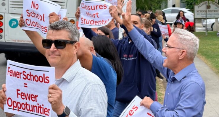


A new historical study reveals the extent of community displacement caused by construction of the 710 Freeway in Pasadena, documenting the loss of 188 buildings that once housed families and businesses.
The report by Architectural Resources Group will be presented at a special meeting Wednesday of the city’s Reconnecting Communities 710 Advisory Group.
Senior Associate Architectural Historian Elysha Paluszek is expected to deliver the findings during the meeting at City Hall, which begins at 6:45 p.m.
The study examined the relinquishment area where the freeway cut through established neighborhoods.
Researchers found 117 residential buildings containing 168 housing units were demolished.
The lost homes included both single-family houses and multi-family structures.
Beyond housing, the freeway eliminated 50 commercial buildings and eight industrial facilities.
Notable businesses displaced included Orban Lumber Company, Green Buck Restaurant and Jack Wall Chevrolet Auto Dealership.
Vroman’s California School Book Depository and Bill’s Coffee Shop also disappeared.
Ten institutional buildings were lost, including the Neighborhood Church of Pasadena and buildings belonging to Ambassador College and Imperial Schools.
The First AME Church was among the religious institutions affected.
The research team examined city directories, fire insurance maps and transportation department records. They studied aerial photographs and Los Angeles County assessor data to document the changes.
Paluszek’s team conducted extensive archival research at multiple locations.
These included the Pasadena Public Library, Pasadena Museum of History and California Department of Transportation archives.
However, researchers encountered limitations in available records. They could not locate detailed information about property values or documentation of how property owners were contacted during acquisition.
The 710 Freeway opened in segments during the 1970s.
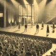
Historical photographs show the area before construction, including Holly Street and businesses along West Colorado Boulevard in the 1940s and 1950s.
The report places the freeway construction within the broader context of 20th-century highway development and housing policies.
It examines both national trends and local land use decisions that shaped Pasadena. The presentation represents the first phase of a larger project examining the freeway’s historical impact.
Additional reports will follow as part of the reconnecting communities initiative.
Future phases will include an executive summary and additional analysis of the displacement effects.
The complete findings help inform ongoing discussions about the freeway’s future role in the community.
 Get our daily Pasadena newspaper in your email box. Free.
Get all the latest Pasadena news, more than 10 fresh stories daily, 7 days a week at 7 a.m.