




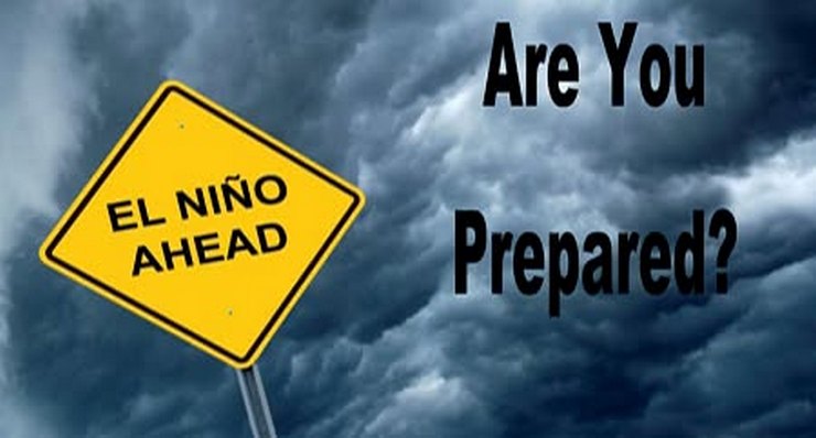
Los Angeles County emergency officials Tuesday outlined preparations for what could be an unusually wet El Niño storm season, urging residents to begin preparing for an increased risk of flooding, landslides and debris flows.
County crews are inspecting and maintaining dams, debris basins, channels, storm drains and pump stations while monitoring burn areas, hillsides and other locations considered vulnerable to flooding and debris flows, according to Supervisor Lindsey Horvath’s office.
Officials are also preparing for possible evacuations, emergency shelter operations and assistance for people experiencing homelessness, older adults and others who may need additional help during severe weather.
“After fires, floods, and landslides, we know exactly what is at stake when heavy rain hits Los Angeles,” Horvath said. “L.A. County crews have been doing the work year-round; now we’re making sure every part of County government is ready to move together when conditions change. The time to prepare is now, and Los Angeles County is here to make sure our communities have the information, resources, and support they need to be ready.”
The preparations follow an Aug. 11 motion by Horvath calling for county agencies to prepare for the 2026-27 storm season as an unusually powerful El Niño develops in the Pacific.
Ocean temperatures in the eastern tropical Pacific — a key driver of El Niño — are already the highest recorded for this time of year, according to Daniel Swain, a climate scientist at UCLA, the National Center for Atmospheric Research and The Nature Conservancy.
Swain said during a media briefing last month that forecasts indicate the developing El Niño could intensify beyond the strongest previously observed events.
El Niño occurs when weakened Pacific trade winds allow warm water to shift eastward toward the coasts of Peru and Ecuador, altering storm tracks and weather patterns around the world.
The event is expected to peak between October and December, most likely in November, with its greatest effects on California expected from December through March or later, Swain said.
Southern California and the central part of the state are expected to have an increased likelihood of above-average precipitation, raising the possibility of inland and urban flooding.
“El Niño doesn’t guarantee a wet winter in California,” Swain said during the briefing. “But a very strong, potentially historically strong event, which is our expectation for this year, likely increases the amount of precipitation that California will experience this winter.”
County officials urged residents to sign up for emergency alerts, learn the flood and mudflow risks where they live and develop evacuation plans before storms arrive. Residents were also advised to keep enough food, water, medications and other essentials for up to 10 days.
Officials recommended clearing gutters, downspouts and storm drains, repairing roof leaks and obtaining sandbags before heavy rain is forecast. The county also noted that standard homeowners insurance does not cover flood damage and that separate flood insurance can take at least 30 days to go into effect.
Residents concerned about mud or debris-flow risks can call Los Angeles County Public Works at 800-933-0930 to speak with an engineer.
During storms, officials urged residents never to drive or walk through flooded roads, to stay away from downed power lines and flooded areas and to move to higher ground if they encounter rising water, mud or debris flows.
Horvath is scheduled to host a virtual town hall at 6 p.m. Sept. 28, when county experts will answer questions about El Niño, storm risks, preparations and steps residents can take.
Swain has said Southern California could experience some of the state’s strongest El Niño effects, including an increased risk of coastal flooding and erosion. Ocean waters off the Southern California coast are already warmer than average, and El Niño is expected to temporarily raise coastal sea levels.
Those higher water levels could coincide with large winter waves and seasonal king tides, increasing the potential for coastal flooding and erosion.
Swain cautioned, however, that the developing El Niño should not be viewed as a guarantee of disastrous weather.
“We really are headed for a very strong El Niño event, maybe even most likely the strongest on record, and that genuinely is a big deal,” Swain said. “We actually have a fairly long runway in front of us before most of the negative impacts might materialize, so that gives us some real time to do something about it.”
 Get our daily Pasadena newspaper in your email box. Free.
Get all the latest Pasadena news, more than 10 fresh stories daily, 7 days a week at 7 a.m.