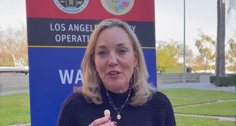
Los Angeles County has unveiled a new online mapping system that allows residents affected by the Eaton Fire to determine the extent of damage to their properties.
The interactive platform, accessible through the County’s recovery website, employs a color-coded system and includes photographs to indicate varying levels of destruction to homes and structures.
“It’s been seven days since the Eaton Fire caused destruction, devastation, and displacement, and there are still countless residents who aren’t sure whether or not their homes are still standing,” said Los Angeles County Board of Supervisors Chair Kathryn Barger.
The digital assessment tool categorizes properties using five distinct classifications: black for undamaged structures, green for 1-9% damage, yellow for 10-25% damage, orange for 26-50% damage, and red for more than 50% destroyed.
“My constituents need to know the scope of what’s happened to their properties so they can begin applying for assistance and start their recovery process,” Barger said, describing the map as “a trusted source” of helpful information.
According to the source document, California Department of Forestry and Fire Protection (CAL FIRE) continues to conduct damage inspections, with additional properties being incorporated into the mapping system as new assessments are completed.
Residents seeking information about their properties can access the damage assessment map through the County’s dedicated Eaton Fire recovery portal at recovery.lacounty.gov/eaton-fire.
The information reflected on the map is sourced from the CAL FIRE Damage Inspection (DINS) database.


 1 comment


