The City’s Reconnecting Communities 710 Advisory Group visited three key locations in the ‘relinquishment’ property Wednesday, in an effort to connect their plans and visions to the reality of re-establishing the 710 Freeway stub into a neighborhood once again.
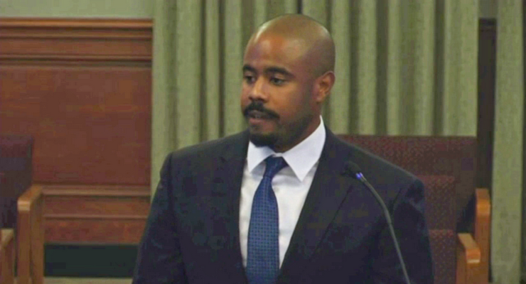
The event was led by Department of Transportation Deputy Director Joaquin Siques, Advisory Group Chair Danny Parker, and Assistant City Manager David Reyes.
The 50-acre SR 710 Northern Stub transportation network, often called the “710 stub,” from Union Street to Columbia Street, was officially “relinquished” to the City of Pasadena on August 15, 2022. The land was seized by Calteans as part of a failed freeway extension effort years ago.
The land was seized by Caltrans as part of a freeway extension effort years ago tat ultimately failed.
The area is approximately between Union Street on the north, Columbia Street on the south, St John Avenue on the west and Pasadena Avenue on the east.
“These site visits are twofold,” Siques explained. “One is for the advisory group and the public to get a better understanding of what land was relinquished to the city of Pasadena. And then also to speak a little bit about some of the near-term projects that were funded through the Measure R program, because that all is part of what’s happening along this corridor.”
Measure R is a half-cent Los Angeles County sales tax that would finance new Metro transportation projects and programs, and accelerate those already in the pipeline.
The group first traveled by bus to the corner of Bellefontaine Street and St. John Avenue, where they discussed Measure M near-term projects, followed by a drive north to the Del Mar Boulevard overpass, where Siques explained the ditch and pump station.
Finally, the group moved to the Holly Street bridge where Siques discussed possible freeway ramp modifications.
Siques explained that the triangle of land at Bellefontaine Street and Pasadena Avenue “originally looked like a goalpost,” in the early 60s, and that there were two separate streets going north and south as part of Caltrans’ efforts to redefine the area while working on the freeway extension.
Most of the triangular intersection is now City property, Siques explained, extending out to approximately 12 feet beyond the sidewalks.
“This is all the city’s property,” said Siques, “And this is the area that we have to work with for our near-term projects.”
Reyes also noted that the 50 acres that were relinquished to the city doesn’t have existing zoning. Said Reyes, “Part of the work of the task force will be to recommend allowed uses and then the corresponding zoning, once we develop some concepts and work with all of our various stakeholders. But there is no general plan designation.”
At the Del Mar overpass, Siques explained that the height from the roadway at the bottom of the 710 ditch to the roadway at the top of the ditch, is between 25 and 30 feet. He also noted that a lot of the design discussion of the new community would include whether or not to actually fill the ditch and convert the bridges to at-grade roadways.
Arriving at the northern end of the stub at the Walnut Street overpass, Siques pointed out that, depending on the eventual design, the offramps leading to and from the 210 and 134 freeways, would likely not be extended as part of the roadway, but might continue to serve as connecting ramps, depending on the final configuration of the new community, which may take 15 to 20 years to finally be completed.


