


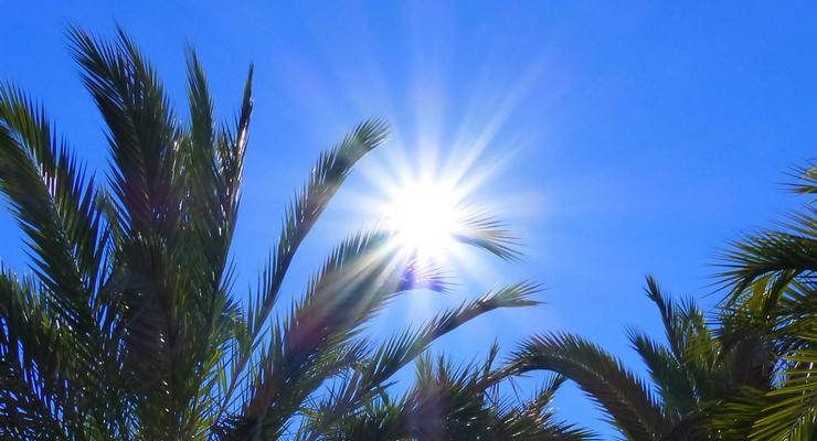
Pasadena residents can expect a dramatic shift from today’s cloudy, drizzly conditions to a week of abundant sunshine and warming temperatures reaching the low 80s, according to National Weather Service forecasters.
Sunday’s patchy clouds will clear by late morning, giving way to gradual clearing skies and a high temperature near 76 degrees. Light east-southeast winds around 5 mph will shift to the southwest this afternoon as conditions improve.
But the next 48 hours will see a steady transition toward clearer weather. Monday brings back patchy morning fog before 11 a.m., followed by the familiar pattern of cloudy skies giving way to afternoon clearing. Temperatures will climb to around 80 degrees with calm winds becoming south-southwest at 5 mph.
A notable warming trend takes hold through the week, with temperatures rising from today’s 76 degrees to a peak of 81 degrees Thursday and Friday. Overnight lows will remain comfortable, ranging from the mid-to-upper 50s throughout the forecast period.
Precipitation expected to be minimal beyond today’s light drizzle. Monday morning may see some patchy fog, but no measurable rainfall is expected for the remainder of the week. The current drizzle represents the last moisture in the forecast.
No weather advisories or warnings are in effect. The pleasant conditions make this an excellent time for any postponed outdoor maintenance or recreational activities that may have been delayed by recent unsettled weather.
The extended outlook maintains the sunny pattern well into next week, with no significant weather changes anticipated. This stable high-pressure system should deliver consistent sunshine and comfortable temperatures for days to come.
Pasadena’s weather story this week centers on transition and improvement. After enduring this morning’s drizzle and cloudy skies, residents can look forward to a sustained stretch of sunshine, warming temperatures, and ideal conditions that showcase why Southern California weather remains the envy of much of the nation.
Here is the latest National Weather Service forecast for Pasadena as of Sunday, September 28 at 2:07 A.M.
Overnight: Patchy drizzle. Cloudy, with a low around 59. East southeast wind around 5 mph.
Sunday: Patchy drizzle before 11am. Cloudy through mid morning, then gradual clearing, with a high near 76. East southeast wind around 5 mph becoming southwest in the afternoon.
Sunday Night: Patchy fog after 11pm. Otherwise, increasing clouds, with a low around 58. Southwest wind around 5 mph becoming calm in the evening.
Monday: Patchy fog before 11am. Otherwise, cloudy through mid morning, then gradual clearing, with a high near 80. Calm wind becoming south southwest around 5 mph in the afternoon.
Monday Night: Mostly cloudy, with a low around 57. South southwest wind around 5 mph becoming calm after midnight.
Tuesday: Mostly sunny, with a high near 77.
Tuesday Night: Clear, with a low around 56.
Wednesday: Sunny, with a high near 79.
Wednesday Night: Mostly clear, with a low around 58. Thursday: Sunny, with a high near 81.
Thursday Night: Clear, with a low around 58.
Friday: Sunny, with a high near 81.
Friday Night: Mostly clear, with a low around 57.
Saturday: Sunny, with a high near 78.
 Get our daily Pasadena newspaper in your email box. Free.
Get all the latest Pasadena news, more than 10 fresh stories daily, 7 days a week at 7 a.m.