


 1 comment
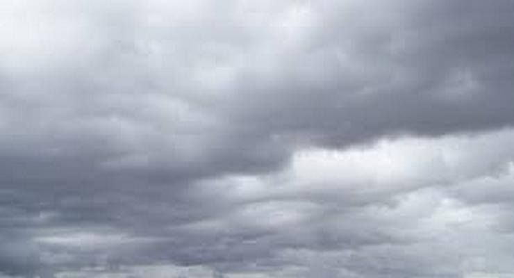
Following near-record heat for February on Thursday, Pasadena residents can expect a noticeable cooling trend through Saturday as the first in a series of cold storm systems moves into the region, according to National Weather Service forecasters. Temperatures are predicted to drop by 10-15 degrees from Thursday’s highs, with unsettled weather likely to persist through next week.
Friday will see partly to mostly cloudy skies with varying amounts of middle and high clouds. Temperatures will be cooler, as onshore flow replaces the weakening offshore winds that contributed to Thursday’s warmth.
The cooling trend will continue into the night with a slight chance of light rainfall as an approaching trough moves through the area. NWS forecasters note some uncertainty about precipitation amounts, as the system may track farther south than predicted. But any rain that does develop is expected to be light, with isolated showers possibly continuing into Saturday morning.
Temperatures will remain below normal through the weekend. Saturday will offer a brief respite between systems before another weather system arrives Saturday night into Sunday. This “broader double-barreled feature” will introduce a cold and unstable air mass to the region.
“The cooling will be substantial compared to Thursday’s record temperatures,” noted NWS forecasters. “Residents can expect much more seasonal conditions through the weekend with temperatures trending below normal by Sunday.”
Sunday’s forecast includes the possibility of light rain as a frontal boundary moves through the area. Limited moisture with this system may create favorable conditions for isolated showers. Temperatures will remain cool, with gusty west to northwest winds developing as the colder air mass spreads.
Here is the latest forecast for Pasadena from the National Weather Service as of 4:44 a.m. on Friday, February 28:
Today: Mostly sunny, with a high near 73. East wind 5 to 10 mph becoming south in the afternoon. Winds could gust as high as 15 mph.
Tonight: Mostly cloudy, with a low around 48. South wind around 5 mph becoming northeast in the evening.
Saturday: A 20 percent chance of showers. Mostly cloudy, with a high near 62. Calm wind becoming southwest around 5 mph in the morning.
Saturday Night: A slight chance of showers before 10:00 p.m, then a chance of rain after 10pm. Mostly cloudy, with a low around 50. Southeast wind 5 to 10 mph. Chance of precipitation is 30%. New precipitation amounts of less than a tenth of an inch possible.
Sunday: Rain likely, mainly after 10:00 a.m. Mostly cloudy, with a high near 60. South southeast wind 5 to 10 mph becoming west southwest 10 to 15 mph in the afternoon. Winds could gust as high as 20 mph. Chance of precipitation is 60%. New precipitation amounts of less than a tenth of an inch possible.
Sunday Night: Rain likely, mainly before 10:00 p.m. Mostly cloudy, with a low around 43. Chance of precipitation is 60%.
Monday: A 50 percent chance of rain, mainly before 4:00 p.m. Partly sunny, with a high near 59.
Monday Night: A slight chance of rain before 10:00 p.m. Partly cloudy, with a low around 43.
Tuesday: Mostly sunny, with a high near 64.
Tuesday Night: A slight chance of rain after 10:00 p.m. Mostly cloudy, with a low around 46.
Wednesday: A chance of rain. Mostly cloudy, with a high near 66.
Wednesday Night: A chance of rain. Mostly cloudy, with a low around 47.
Thursday: Rain likely. Mostly cloudy, with a high near 64.
 Get our daily Pasadena newspaper in your email box. Free.
Get all the latest Pasadena news, more than 10 fresh stories daily, 7 days a week at 7 a.m.