


 3 comments
Forecasters at the National Weather Service said that elevated fire weather conditions will exist in Southern California through at least Tuesday, and the predicted Santa Ana wins that will sweep much of Southern California will not occur in the Pasadena area.
Temperatures are expected to remain on the cooler side all week long, with highs in the 60s and lower 70s and most lows in the 40s.
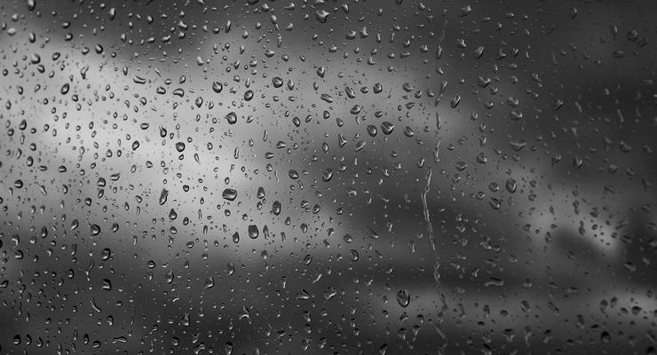
Some light rain is possible Wednesday through Friday, the NWS said.
Here is the week’s forecast for Pasadena from the NWS, reported at 3:02 a.m. Monday morning:
Today: Mostly sunny, with a high near 72. North northeast wind around 10 mph becoming south southwest in the afternoon.
Tonight: Mostly cloudy, with a low around 44. Northeast wind around 5 mph.
Tuesday: Sunny, with a high near 72. Northeast wind 5 to 10 mph becoming southwest in the afternoon.
Tuesday Night: Partly cloudy, with a low around 45. Calm wind becoming east northeast around 5 mph after midnight.
Wednesday: A 20 percent chance of rain after 10 a.m. Partly sunny, with a high near 64. East northeast wind 5 to 10 mph becoming southwest in the afternoon.
Wednesday Night: A 30 percent chance of rain. Mostly cloudy, with a low around 45.
Thursday: A 20 percent chance of rain. Partly sunny, with a high near 62.
Thursday Night: A slight chance of rain. Mostly cloudy, with a low around 44.
Friday: A slight chance of rain. Partly sunny, with a high near 61.
Friday Night: Partly cloudy, with a low around 41.
Saturday: Mostly sunny, with a high near 63.
Saturday Night: Partly cloudy, with a low around 41.
Sunday: Mostly sunny, with a high near 66.
 Get our daily Pasadena newspaper in your email box. Free.
Get all the latest Pasadena news, more than 10 fresh stories daily, 7 days a week at 7 a.m.